
Description of ice analysis chart
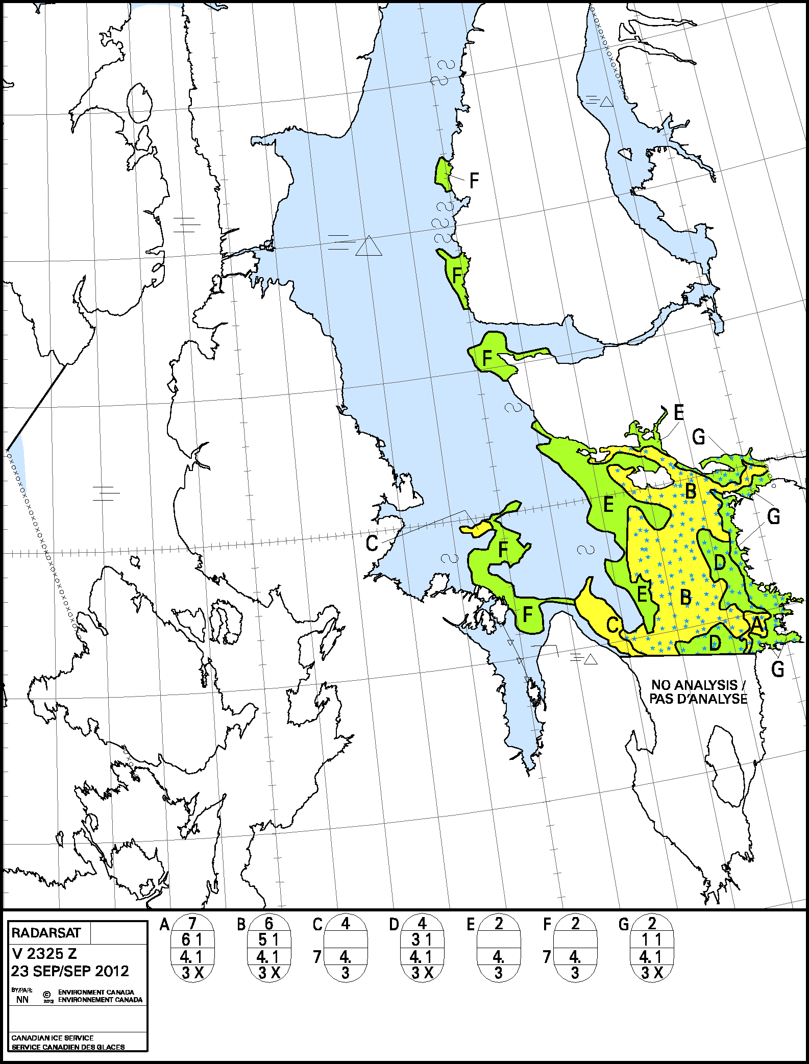
Image analysis charts are tailored sea ice chart products that provide a visual interpretation of the ice conditions from synthetic aperture radar imagery frames. The synthetic aperture radar images are acquired from RADARSAT1 or RADARSAT2 polar orbiting satellites. The Canadian Ice Service receives approximately 11,000 synthetic aperture radar images a year. Operationally significant images are analyzed in near real time (within 4 hours of acquisition) and the analyses are issued as image analysis charts. The charts are valid at the image acquisition time. The areal extent of an image analysis chart is not static and varies depending on the satellite’s orbit and on operational requirements to support shipping. Typically image analysis charts cover the marginal ice zones (the edges near the constant pack), as ships tend to try and avoid contact with ice. The international standard for coding ice information, the egg code, is used with some minor modifications. See MANICE chapter 5 for a description of the egg code and colour palette.
Image Analysis charts are primarily intended for the Canadian Coast Guard ice offices and ice breakers to assist ship routings and escorts through ice. The product is used as well by ice forecasters to supplement the daily Ice Analysis and Regional Analysis charts. Grid point ice data from the analysis is extracted and is provided to the ice modeling lab at the Canadian Ice Service, the Canadian Meteorological Centre and to the Maurice Lamontagne Institute (Gulf of St. Lawrence only).
Availability
During winter operations, daily image analysis are produced for the Great Lakes, Gulf of St. Lawrence and East Coast regions. During summer, the operational area of coverage expands to cover the Hudson Bay and Arctic regions. Image analysis products follow the satellite acquisition orders (see figure below).
Method of Production

The image analysis chart is a visual interpretation of the synthetic aperture radar image by an experienced Analyst using a digital image display and vector drawing tools. Accurate information extraction requires an understanding of ice forms, remote sensing signatures and access to meteorological conditions and the historic patterns of ice in a specific region. Analysts extract ice concentration, ice type and ice topography from the images based on tone, texture and spatial context of the ice features (resolution). The analysis of the ice regime seen on the synthetic aperture radar image is actually a composite of ice signature recognition and support data. Support data sources include the prevailing environmental conditions, ice climatology and coincident ice reconnaissance charts from ships, aircraft or helicopters.
synthetic aperture radar image analysis charts are tailored to meet the user’s requirements. The scale of the chart is not fixed. It will be tailored to the client’s geographic area of interest, constrained by the footprint and resolution of the sensor and the need to ensure that the information presented using the egg code is clear and readable and is issued in a timely fashion. The accuracy of an analysis is also affected by the spatial resolution of the data and processing quality.
In addition to being able to resolve different ice features, the absolute positional accuracy of the data (geo-coding) will be affected by the accuracy of the satellite orbit information. The Canadian Space Agency estimates the geometric accuracy of a feature such as an ice edge will be within 630 metres for imagery with 100 metres pixel resolution.